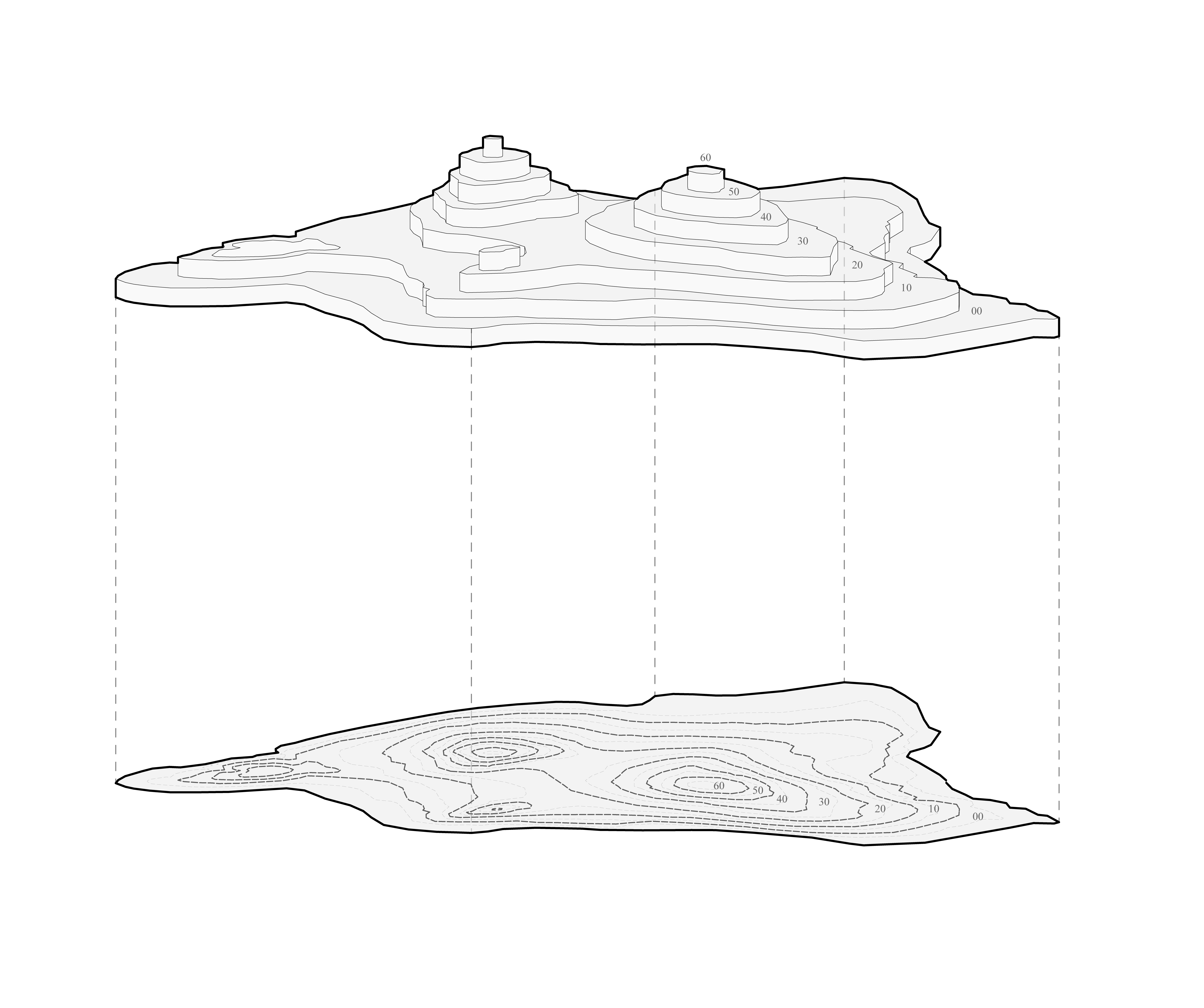
A computational geometry workflow for turning large sets of CAD contour curves into stepped terrain models for digital fabrication. The method cleans and organizes contour data by elevation, builds adjacency relationships between surfaces, and recursively identifies the regions that belong to the terrain. It was implemented in IronPython for Grasshopper and tested on datasets with more than 1,000 contour curves.